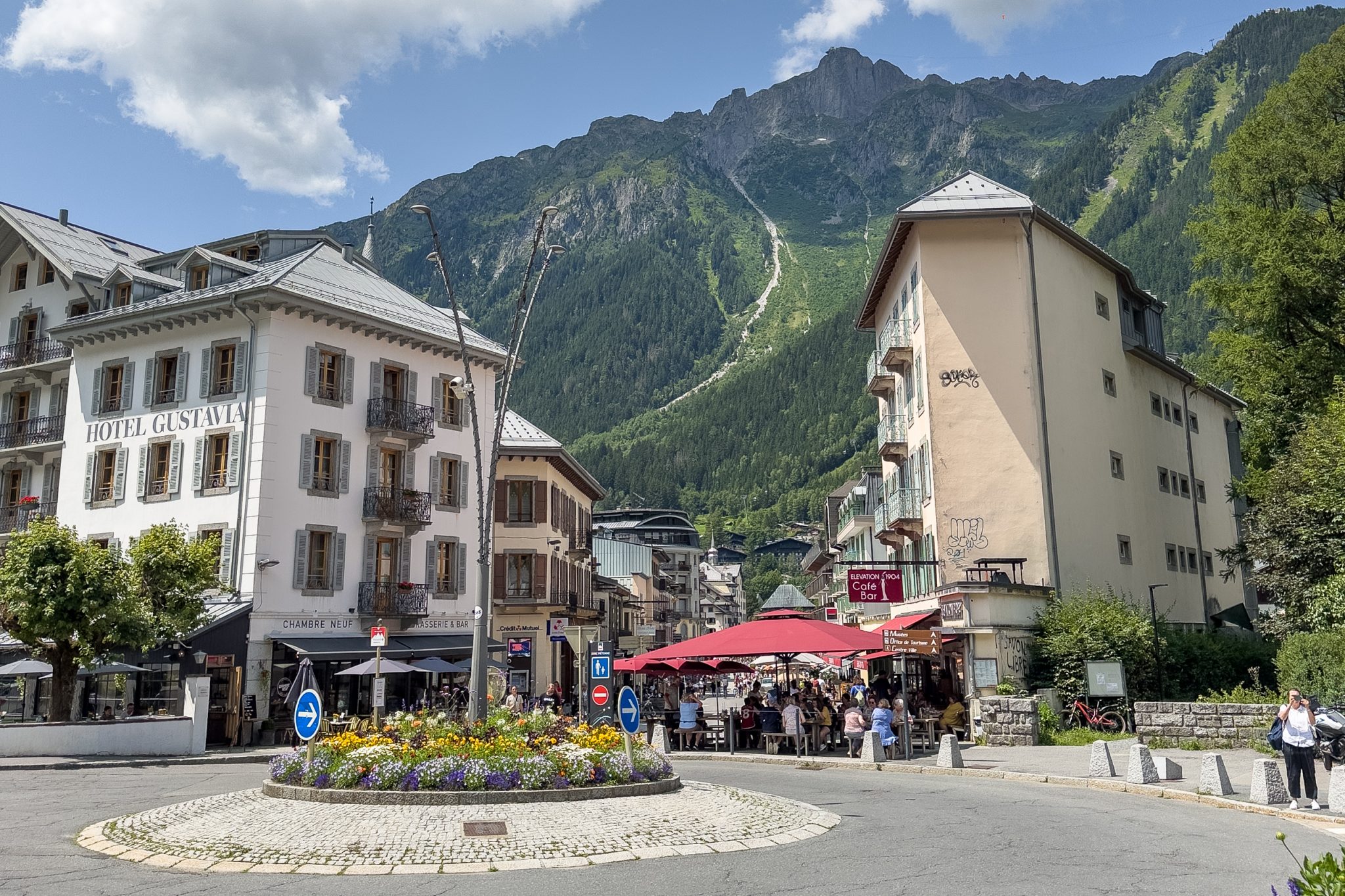
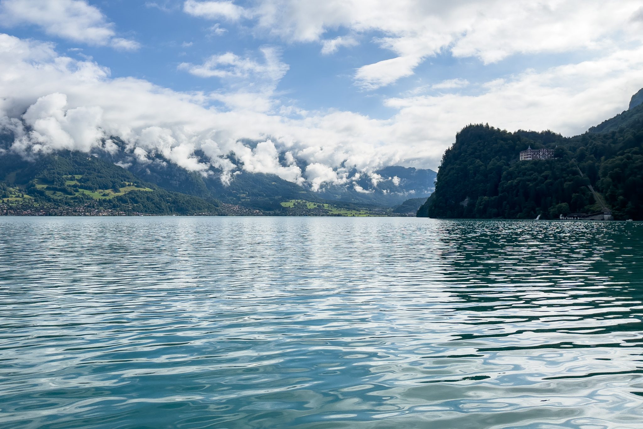
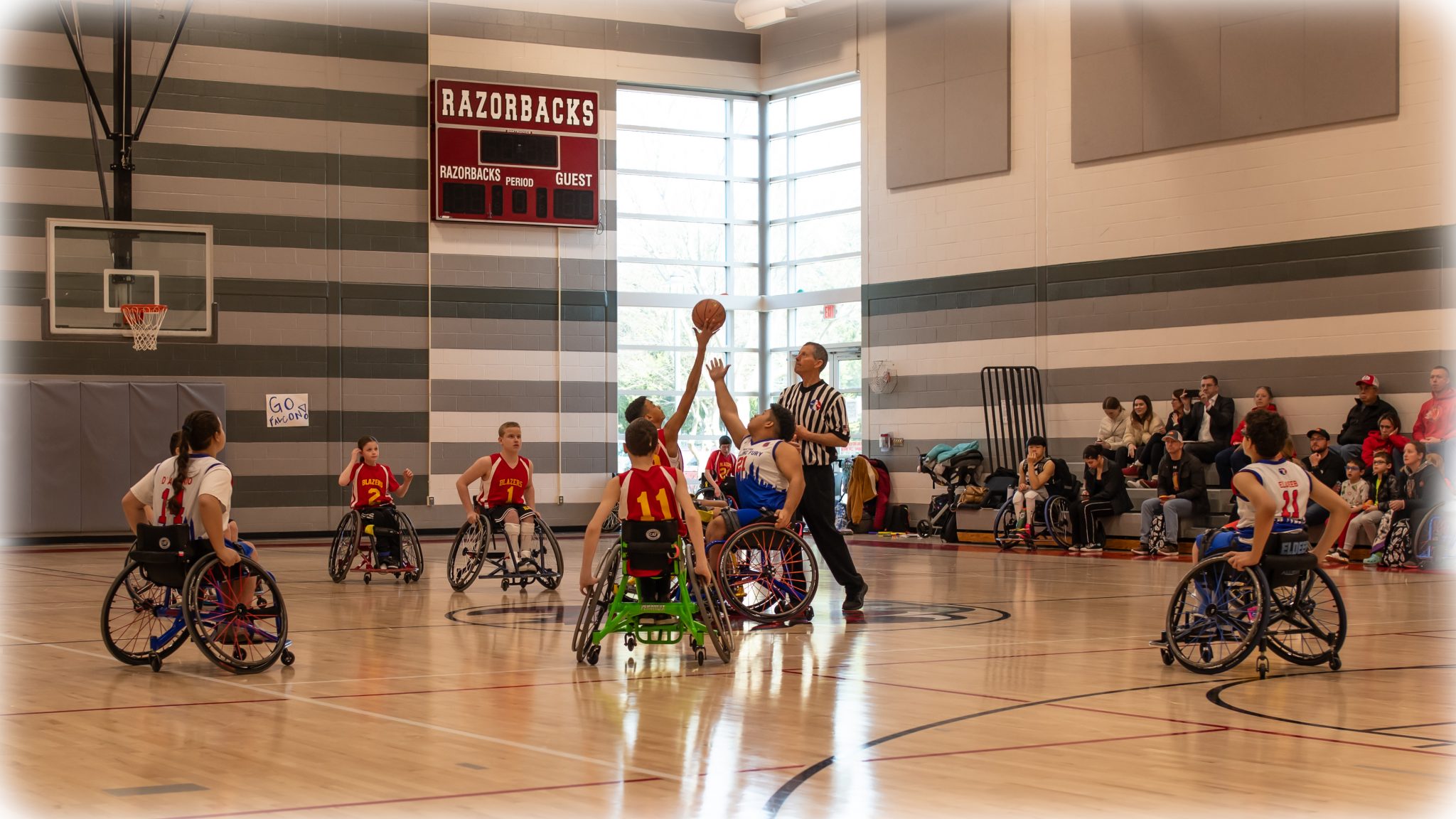
This is all of my swimming and finish line photos. The deck-side swimming photos are yet to come.
I wish I could have gotten more.
This is all of my swimming and finish line photos. The deck-side swimming photos are yet to come.
I wish I could have gotten more.
Our intrepid explorers at the peak of Mannlichen (7,694 ft).
This was the view from John and Karen’s hotel room balcony at Hotel Lauterbrunnen. At right is the 974-foot Staubbach Falls.
The first 89 photos. 219 left to disposition.
The first 44 photos. 137 left to disposition.
The first 41 photos. 362 left to disposition.
The first 49 photos. 184 left to disposition.
The first 27 photos. 506 left to disposition.
The first 29 photos. 201 left to disposition.
The first 40 photos. 618 left to disposition.
The first 76 photos. 314 left to disposition.
The first 80 photos. 121 left to disposition.
The first 50 photos. 182 left to disposition.
83 photos. Enjoy!
70 photos. Enjoy!
105 photos. Enjoy!
Sorry for the delay. Here are the first 81 photos. I have 347 photos left to disposition.
The first 68 photos. 293 left to disposition.
The first 78 photos. 55 left to disposition.
The first 89 photos. 146 left to disposition. Last update October 10th.
On Tuesday, Patty and I bid Andreas and Mary adieu, and started our journey back to the States. Andreas would have another day to tackle Cat Bells (to the peak), and Mary would be staying another week with her uncle.
Mary gave us a ride to the Windermere Bus Station. From there, we grabbed a bus to the train station at Oxenholme. And from there we took the train to the Manchester Airport station, and a taxi to the Holiday Inn Express. The next day, we had plenty of time to get to the airport, get through Security, have a cup of coffee and pick up a book from the news stand to read on the way home.
But now I’ve been home for more than 3 weeks, and I still can’t get this fantastic vacation off my mind. I want to go back, and soon! So, in this post I’m attempting to summarize the things we did (hiked over 63 miles, climbed over 10,000 ft, etc.), how we did them, and how I’d like to do them again, hopefully in the near future. If you are interested in such a journey, you may find this information useful too.
Again, many thanks to Mary and Andreas for showing us such a great time! – Rich & Patty
On Monday, our last full day in the Lake District, we started with a visit to the Castlerigg Stone Circle. Later, we would take a hike along the western shore of Derwent Water, returning to Keswick via water taxi. And after dinner outside at The Derwentwater Hotel, I would take a solo hike up a fell called Cat Bells to get some sunset shots.
Photo Notes:
The Castlerigg Stone Circle is believed to have been constructed in the Neolithic period, around the year 3200 B.C. Although its purpose remains unknown, from its perch on an impressive 700 ft plateau just east of the town of Keswick, Castlerigg occupies the stage of a massive natural amphitheater, formed by the peaks of Helvellyn (3117 ft) to the southwest, Skiddaw (3000 ft) to the northwest, Grasmoor (2795 ft) to the west, and Blencathra (2848 ft) to the northeast. This view, looking south, shows High Seat (1995 ft), which is about 3.8 miles away. The Castlerigg site is accessible from Keswick via small farm roads.
On Sunday, Mary drove us over to the vicinity of the village of Grange-over-Sands, where we started a hike up to Hampsfell Hospice. From there, we hiked down into the village of Cartmel, where we sampled some of their world-famous Sticky Toffee Pudding, and visited a local craft show in progress. Later, Mary drove us to the town of Kendal, where we toured the ruins of Kendal Castle. Then in the evening, we met up with Mary’s Uncle Frank for dinner at The Crooklands Inn in Crooklands.
Photo Notes:
This is the view looking east from about 550 ft on the hike up to Hampsfell Hospice. The body of water is the mouth of the River Kent, which comes in from the left (north). The buildings down the hill are in the village of Grange-over-Sands. And on the far shore (to the left) is Arnside Point and Arnside Knott (522 ft), which we climbed on Day 3.
On Saturday morning, Mary dropped Patty and I off at Keswick, where we toured their Saturday Market, an event that has only been going on for over 700 years. Afterwards, Patty and I hiked over 2.5 miles to Braithwaite village, from where we started a climb up Grisedale Pike (2595 ft). We didn’t go completely to the top, but we went over the ridge and came down the north side, stopping for a drink at The Cottage in the Wood, before making the final leg back into Braithwaite. From there, Patty and I took a bus to Windermere, where Mary picked us up and brought us to The Villa Levens in Kendal, where we would be staying for the next 2 nights. And after a quick shower, it was downstairs for a very nice dinner with Mary, Andreas, and Mary’s Uncle Frank.
Photo Notes:
This is Patty, in a view looking southwest, during our hike up Grisedale Pike (the peak on the right, 2595 ft). The faint path that you see leading up to that peak is the same path you see here. The mountain in the distance is Crag Hill (2749 ft), about 2.3 miles away, and the Force Crag Mine (out of view) is in the valley just this side of it.
At the point when this photo was shot, we had already hiked 2.6 miles from the Market in Keswick to Braithwaite Village, and then climbed about 1200 ft over the next 1.2 miles. From here, we would climb another 0.9 miles and more than 250 ft up that slope, to the Sleet How ridge (1750 ft) just below the peak, before returning to Braithwaite via forested mountain bike trails on the north side of the mountain. By the end of our hike, we had covered 8.8 miles, including an ascent of 1,469 ft, in 5 hours and 36 minutes.